

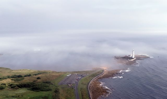
Parts of the UK could see half a month's rainfall in the next 24 hours, with lightening, hail and gusty winds also forecast.
Much of Scotland, Northern Ireland, large parts of western England, and all of Wales will remain under yellow weather warnings until 10pm tonight.
Another set of yellow warnings for thunderstorms will come in tomorrow, covering the southeast of England, the Midlands, the north of England, a small part of North Wales, and most of Scotland.
Those warnings are due to last until 9pm on Monday.
In Northern Ireland, a warning for thunderstorms for western areas is in place until 8pm today, while a rain warning is in place for eastern areas from 6pm tonight until 6pm Monday.
Simon Partridge, Met Office forecaster, said: "It looks like Northern Ireland is the place where we could see the most rainfall and certainly the most impactful rainfall.
"They could see 50 to 75mm of rain within 12 to 18 hours."
The country records an average of 89mm of rain in July, meaning more than half a month's rainfall could hit Northern Ireland in less than a day.
It follows a period of already intense rainfall. Saturday's rain brought 47.2mm to Surrey's Charlwood - close to a month's worth. From 5pm yesterday to 1pm today, Scotland's Aboyne recorded 47.6mm.
Over the next few days, flooding is possible, with more than 10 flood alerts active in Scotland.
There is also a small chance of power cuts and a small chance of fast-flowing or deep floodwater causing danger to life.
But even within the warning areas some places will stay dry, the Met Office said.
"One bit of good news is that it has been very muggy overnight. Tonight will be less muggy across the southern half of the UK," Mr Partridge said.
Will the warm weather return?
Next week the weather will remain unsettled, with further thundery downpours across Britain, particularly in the south.
Read more from Sky News:
NHS managers who silence whistleblowers to be banned
D-Day veteran who became TikTok star dies aged 102
Daytime temperatures will be average, becoming milder overnight.
But as we head into next month there is "only a small chance of hot spells" between 25 July and 3 August, the Met Office says in its long-range forecast.
But warmer weather may return as the month wears on.
"There are signs that high pressure to the southwest may try to extend its influence across the UK, which could bring more in the way of dry, settled weather as we head further into August," the weather forecaster says.
"Temperatures will likely continue to be near or above average overall, with a continuing chance of some very warm or hot spells, especially in the south and east, if high pressure wins out for a decent stretch of time."

(c) Sky News 2025: Parts of UK could see half a month's rainfall in next 24 hours
 Local news content from CItiblog - read more at
  England star Jess Carter targeted by racist abuse during Euros
 Social media firms have gone backwards in tackling online hate, says Kick It Out chairman
 Three women charged under Terrorism Act after van driven into fence of defence factory
 Underwater teams join search for missing woman last seen at petrol station
 Scuffle breaks out on stage of Royal Opera House after performer unfurls Palestinian flag
 How e-bike riders are doing double the speed limit - and many of them work for fast food delivery firms
 I can't help feel Harry's team are trying to push the reset button - here's why